Landscape
Olmeda de las Fuentes is located in the heart of Alcarria Madrileña. A privileged environment, surrounded by unspoiled nature with a great landscape richness, which has hardly changed in the last century.
The Olmeda landscape, together with that of Pezuela de las Torres and Ambite, constitute the virgin Alcarria portion of the Community of Madrid. This type of landscape, extensive in the province of Guadalajara and also present in that of Cuenca, is part of the great La Mancha unit, belonging to the Community of Castilla La Mancha. The portion of Alcarria Madrid is a heritage for the Community of Madrid, increasing its richness of scenery, but of limited extension. Therefore, it is a rare asset and is highly representative in the Community of Madrid as a whole. Its main asset, from this point of view, is the maintenance of the appearance of a non-urban territory, which maintains the rural character in a large part of its territory.
The entire municipality is located in the Tajuña River basin and most of it flows into the Arroyo de la Vega, marking the western limit of the municipality.
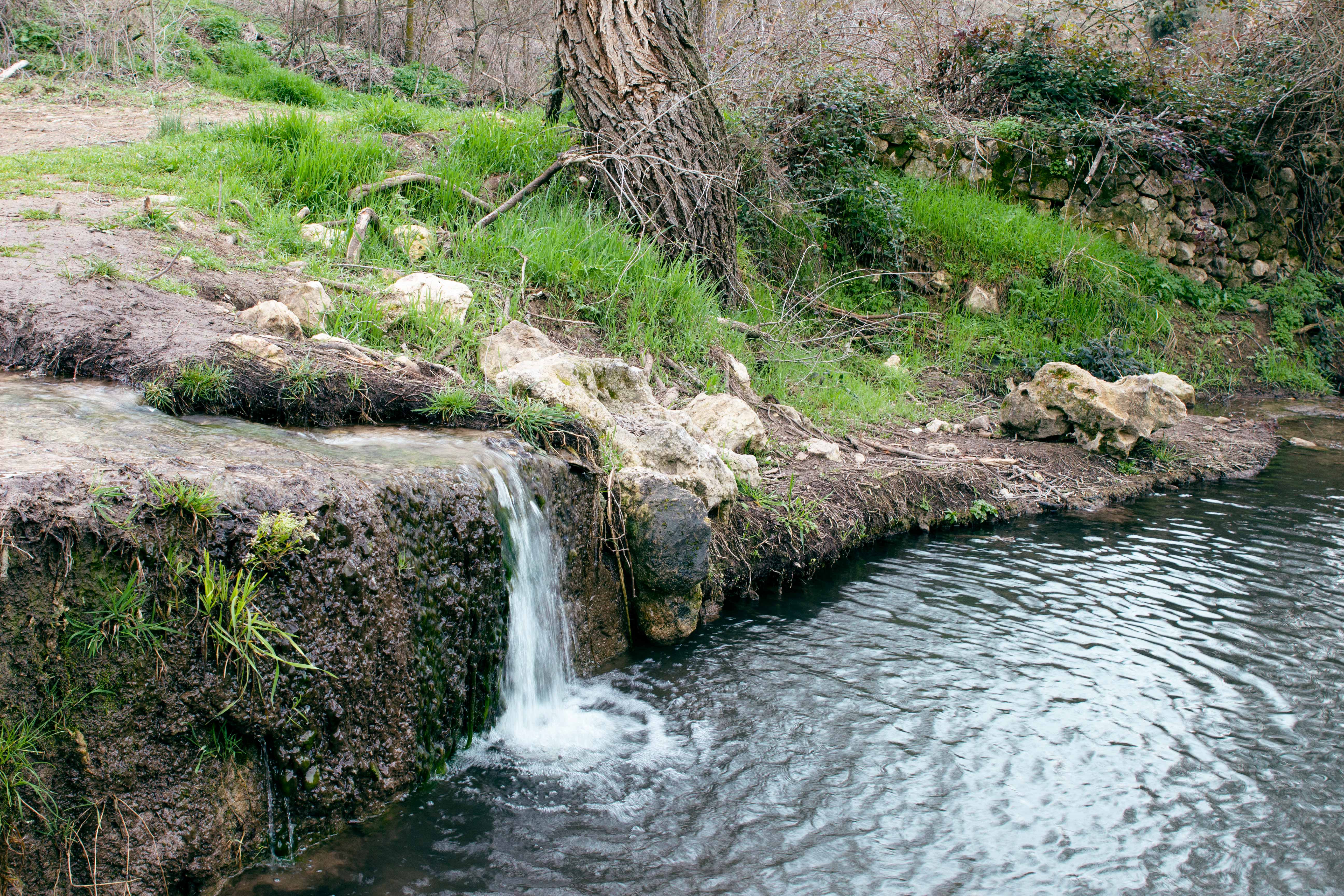
The features that stand out at first glance are the wide moors and the valleys sculpted by rivers and streams that interrupt them. More in detail, the moors constitute an open space, marked by cereal crops and the oak and kermes oak forest, clearly arid and particularly beautiful. The valleys through which the streams flow provide the contrast of freshness, humidity and greenery in the wet seasons, where an environment marked by groves and irrigated crops or soils richer in water develops.
The bottoms of the valleys excavated by the streams have accumulated, over the years, part of the materials carried by the waters, generating fertile and deep soils. These meadows support plant, crop or natural roofs. The limestones of the paramos harbor a discontinuous aquifer housed in fissures and cracks that, in contact with other impermeable materials, can give rise to natural springs.
 The abundant historical and archaeological remains in the surroundings, such as the Roman Bridge in Carabaña, Roman road in Titulcia next to the Tajuña, among others, suggest that water courses played an important role throughout history.
When the limestones of the páramo have been cut by erosion, as occurs in the valleys dug by streams, they form steep edges that are very characteristic for the projections they produce in the landscape. This calcareous formation currently occupies hanging positions, culminating in hills and moors. These features are similar to those of large areas of the province of Guadalajara, with which it shares the landscape known as "alcarrias"
All these landscape units make up a diversity of environments that together promote a high biodiversity concentrated in a small space.
Another valuable component is the presence of small elevations in the moorland ("buttes") that provide panoramic points of great value, due to the very wide visual field that they allow in 360º in all directions.
The characteristics of the sky in this portion of the Community of Madrid are especially valued, one of the few enclaves where the absence of light pollution allows the observation of the stars with the naked eye and with simple devices. The quality of the sky, in this case, is part of the specificity of the Olmeda de las Fuentes landscape.
Regarding the weather, there are two highly contrasted seasons: the winter months, with temperatures between 4 and 6ºC on average and with moderate rainfall. And the months of July and August, with temperatures of 25-26º C on average. The month of November is the rainiest, with another group of wet months between January and April. The period of frost occurrence is between November and May, where the average rainfall is 400 and 500 mm / year. All these characteristics place Olmeda on the Mesomediterranean climatic floor.
 EN
EN Español


